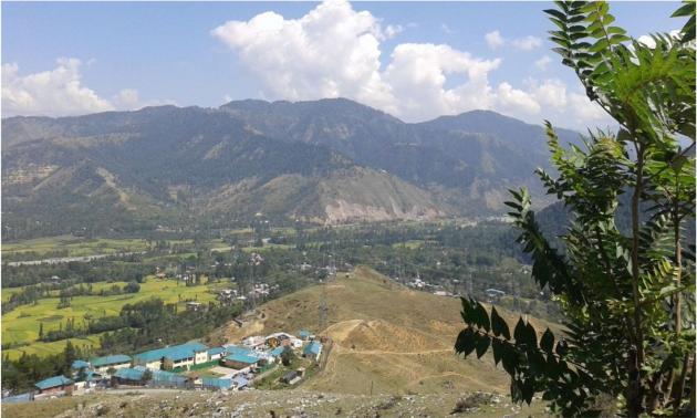
First view of Kashmir
We entered the Kashmir valley, the ‘paradise on earth’, on the second day of our trip after we crossed Banihal tunnel to reach our next place of night stay at Pahalgam via Batote, Ramban, Ramsoo, Banihal, Verinag and Anantnag.
Patnitop to Banihal
After leaving Patnitop in the morning, we crossed Batote cutting through the quiet green surroundings. Batote used to be an extremely busy town during our pilgrimage trip to Amarnath in 1980. We had our first night stay at Batote at that time. I still remember the taste of “mutter paneer” served to us. At present, Batote, after commissioning of the new 9 km long tunnel, has become a sleepy town.
Batote
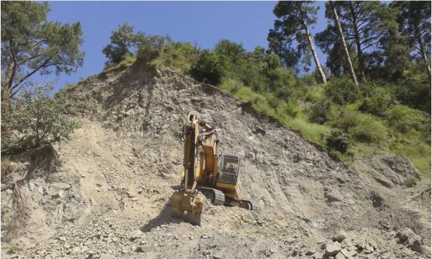
After crossing Batote, on reaching Jammu Srinagar highway, we had to roll up the cab windows as the road was again extremely dusty because of the ongoing railroad construction from Udhampur to Banihal and widening of the roads. The mountain side is the victim of widespread bull-dozing of the mountains. We could see the sites being identified as the future tunnels for the railways.
Destruction of mountains for “Progress”, one of the ongoing construction sites of the Udhampur-Banihal Railway line
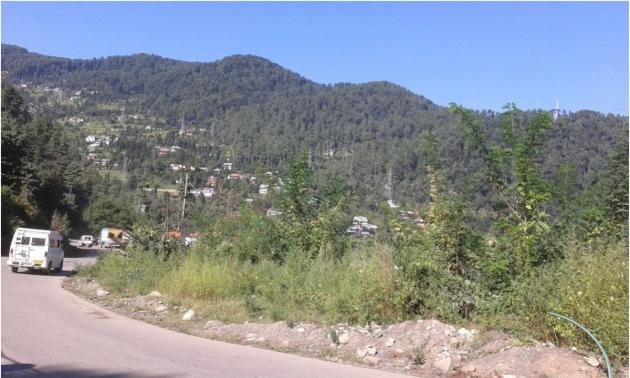
Around Ramban the greenery returned, as the construction work was yet to reach the place.
Way to Ramban
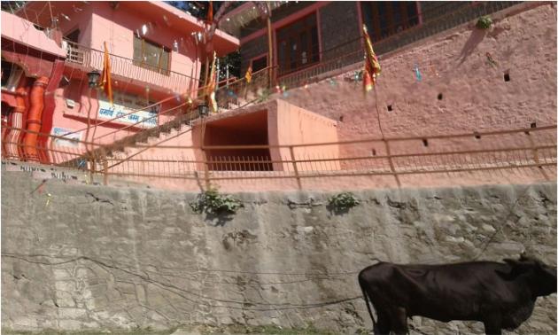
We passed a big temple complex at Ramban. This was the last temple complex seen in Jammu. No army deployment seen.
Temple complex at Ramban
Next important point was Banihal tunnel.
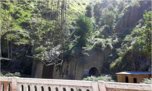
Before we reached Banihal tunnel, we were on a bridge heavily protected with metal rods hanging from above and solid construction complete with tunnel. Such hanging rods are not generally seen on bridges. Our driver informed us that this area is extremely prone to landslide and the local people has named this stream “Khuni nala”. Similar construction was seen after crossing the Banihal tunnel. The local name of the stream is “Saitan nala". These extra constructions add to the security of highly sensitive Banihal tunnel.
Bridge on "Khuni Nala", an area prone to landslide, before Banihal,
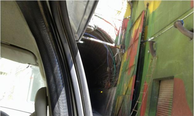
I was eager to experience the changes in the 2.5 km long Banihal tunnel, first such tunnel in independent India, that we crossed in awe in 1981. No more waiting because of “Gate” system. Two separate tunnels have been constructed for uphill and returning vehicles. Indian army is always vigilant towards security and upkeep of the tunnel. Painting on the entrance makes the tunnel inconspicuous.
We halted at the entry point of Banihal tunnel for a while. On our right side, we saw a railway coach being ferried on a truck and a “ponywalla" managing his 10-12 ponies crossing the road.
Entrance of Banihal tunnel (Jawahar tunnel )
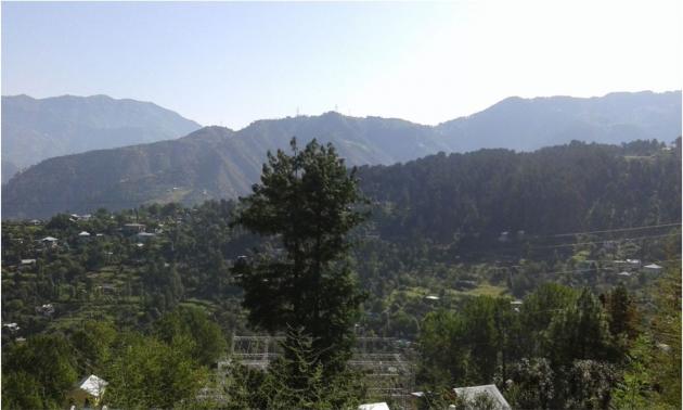
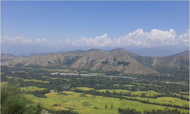
We entered Kashmir valley after crossing Banihal tunnel and had our first glimpse of the Verinag valley of Kashmir.
First glimpse of Verinag valley
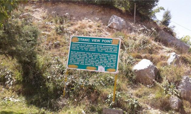
A board on the wayside marked the Titanic view point.
Titanic viewpoint
From Titanic viewpoint, we enjoyed the view of valley open to the horizon.
View from Titanic view point
There are different stories on the origin of the name “Kashmir“, the fertile land created as a result of draining of a huge lake perhaps due to earthquake. According to mythology, the land is named after the sage “Kashyop” who freed the place from the demon “Jolodvav”. The name of the demon also indicates that the land was once immersed in water.
Thus Kashyopmar ? kashamar ? Kashmir.
Another possibility is that the name “Kashmir” originates from the name “Kashmira” (Kashmiri name of saffron or Jaffran that grows in Kashmir).
Excavation of ‘Burjahome’, about 24 km northwest of Srinagar gives evidence of the civilisation as early as 5000-2000B.C. by the dynasties belonging to Buddhism, Islam, Hinduism, Mughal and Hindus. After independence, Indian troop is continuously deployed to resist encroachment by Pakistan. Presently, there is huge deployment of Indian army everywhere in the Kashmir valley.
Current travel agencies are either not aware of the location of the Hindu pilgrimage sites like Kheerbhabani or are not interested in including these places in their travel plans. Contrary to our first impression of the driver, the old driver was actually very efficient, friendly and took care of our every little desire. He readily agreed o show us Kheerbhabani temple though it was not included in the list of the places to be visited. Another beautiful place not included in the itinerary given by Kashmir Travel bazaar and was shown to us by the driver was the “Verinag” complex.

